Drainage Mapping
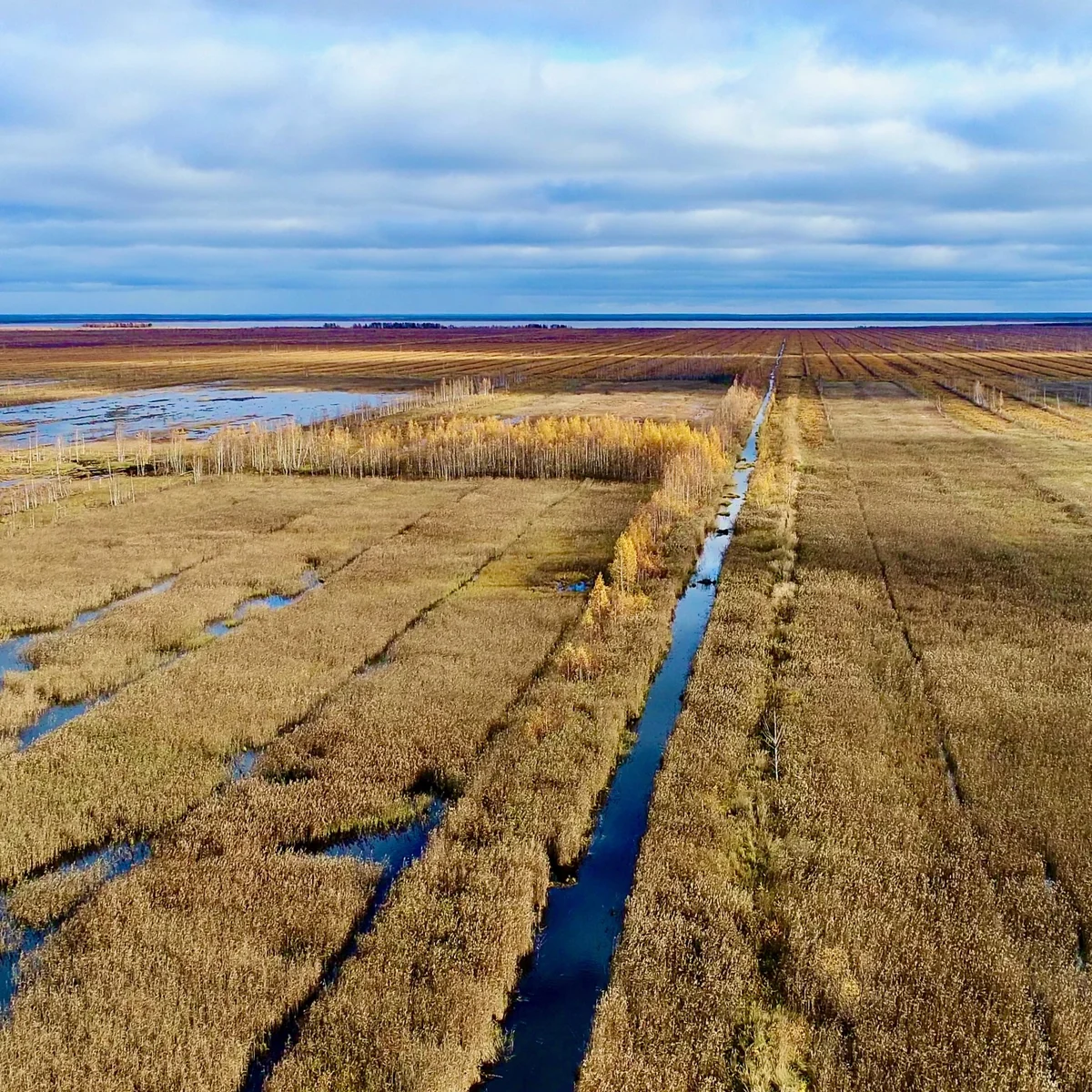
Poor drainage and wet areas reduce yield, delay field access, and create recurring problems year after year.
Drainage mapping uses drone surveys, particularly following rainfall, to identify persistent wet spots and underperforming zones across fields or blocks.
The service supports practical decisions around remediation, access planning, and longer-term field improvement.
Service Overview
Drone imagery provides a field-wide view that makes drainage issues easier to identify and map consistently.
Persistent problem areas can be prioritised for investigation rather than repeatedly rediscovered during the season.
Repeat surveys can also be used to assess whether remedial work has improved conditions over time.
Benefits of Services
Supports informed decisions before committing time or budget.
Helps plan operations around known problem zones.Long-term issue tracking
Builds understanding of persistent patterns across seasons.
