Variable Fungicide Targeting
Disease pressure rarely develops evenly across a field. Variations in soil type, crop density, microclimate, and field history mean that some areas are at greater risk than others, even within the same crop and growth stage.
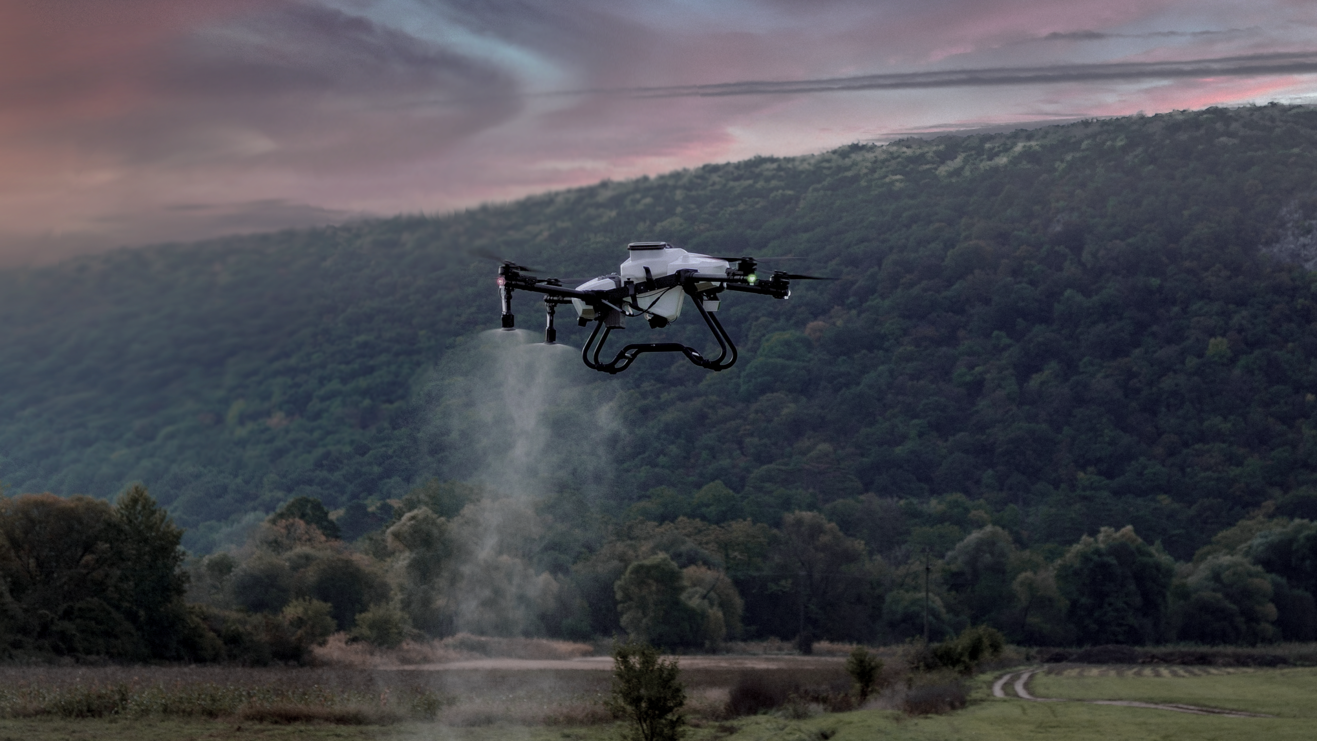
Variable fungicide targeting uses drone-based crop health surveys to make this variability visible. By highlighting differences in crop vigour and stress, the service helps identify areas where disease pressure is more likely to develop, supporting more informed and proportionate decision-making.
The aim is not to replace agronomy or prescribe treatments automatically, but to improve prioritisation. Clear aerial visibility helps guide field walking, sampling, and discussion around fungicide strategy, ensuring attention is focused where it is most likely to be needed.
Service Overview
Variable fungicide targeting is designed to support decisions made during periods of heightened disease risk. Drone surveys provide a rapid overview of field condition, revealing patterns that are difficult to identify consistently from ground-level inspection alone.
Survey outputs are used to highlight zones that may warrant closer inspection, additional sampling, or earlier intervention. This helps agronomists and growers prioritise their time effectively, particularly across large or variable fields where walking every area is impractical.
Where appropriate, the information generated can also inform discussions around targeted or variable spraying approaches. Decisions on how treatments are applied remain with the grower and agronomist, but are supported by clearer evidence of where pressure is most likely to develop.
Â
Benefits of Services
Drone surveys highlight areas that are changing more rapidly or showing early signs of stress, helping focus attention where it is most likely to be needed rather than spreading effort evenly across the entire field.
By showing how crop condition varies spatially and over time, the service adds context to disease risk assessments and supports more informed discussion around timing and intensity of fungicide applications.
Large or irregular fields often contain areas that are overlooked during routine checks. Aerial visibility helps ensure that decisions are based on a complete picture rather than partial observation.
Repeat surveys create a visual record that can be reviewed after application to understand how different areas responded, supporting learning and refinement of future strategies.


