Modern agricultural and industrial inspections demand far more than
standard aerial photography. Today’s drone technology enables the
rapid capture of high-resolution imagery, thermal data, elevation
models, and precision mapping outputs safely, efficiently, and with
minimal operational disruption.
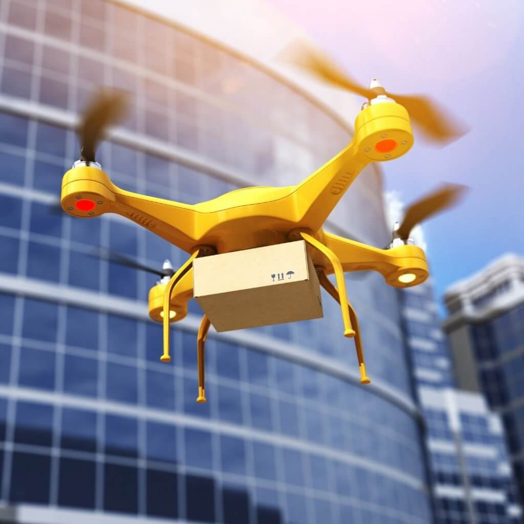
At FarmingByDrone, we deploy a range of drone platforms tailored to
the size, complexity, and environment of each inspection. Compact
aircraft are ideal for confined spaces and rapid deployment, while larger
enterprise systems provide extended endurance, improved wind
resistance, and support for advanced sensor payloads across large
estates and industrial sites.