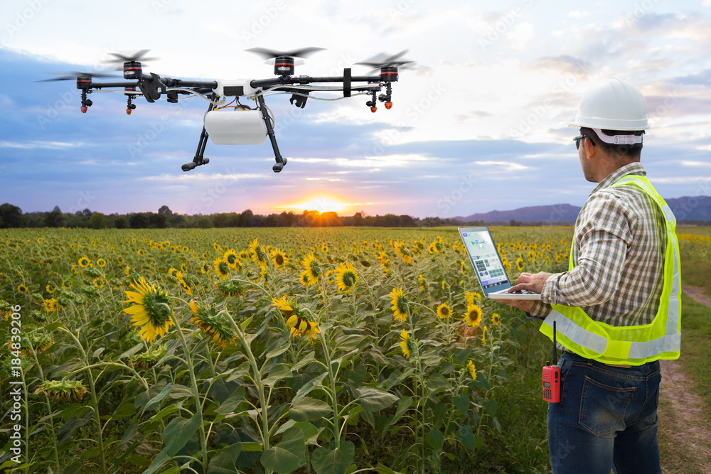
A scouting drone is simply an extra set of eyes over your fields. It flies itself along a plan we set up, photographs every hectare, and turns what it sees into a plain-English report you can act on. It spots trouble — poor establishment, hunger, weeds, wet patches, pests and disease — often days before you’d see it from the ground, so you can treat the problem while it’s still small and cheap to fix. You don’t need to be technical: you press go in the morning, and the answers come back to you.
We supply two scouting drones, a light, one-person machine that suits most farms, and a bigger, longer-flying platform for large estates and contractors, both backed by our own FarmingByDrone reporting service.
The Scouting Drone (for most farms)
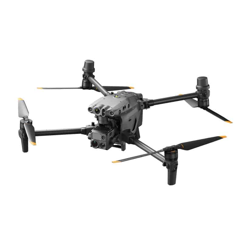
The everyday machine: light enough to carry in one hand, quick to launch, and simple to run — it flies itself. In a single flight of around 43 minutes it can cover roughly 200 hectares, capturing both an ordinary high-detail photo of the field and special crop-health imagery that reveals stress your eye can’t see yet.
What it gives you
Â
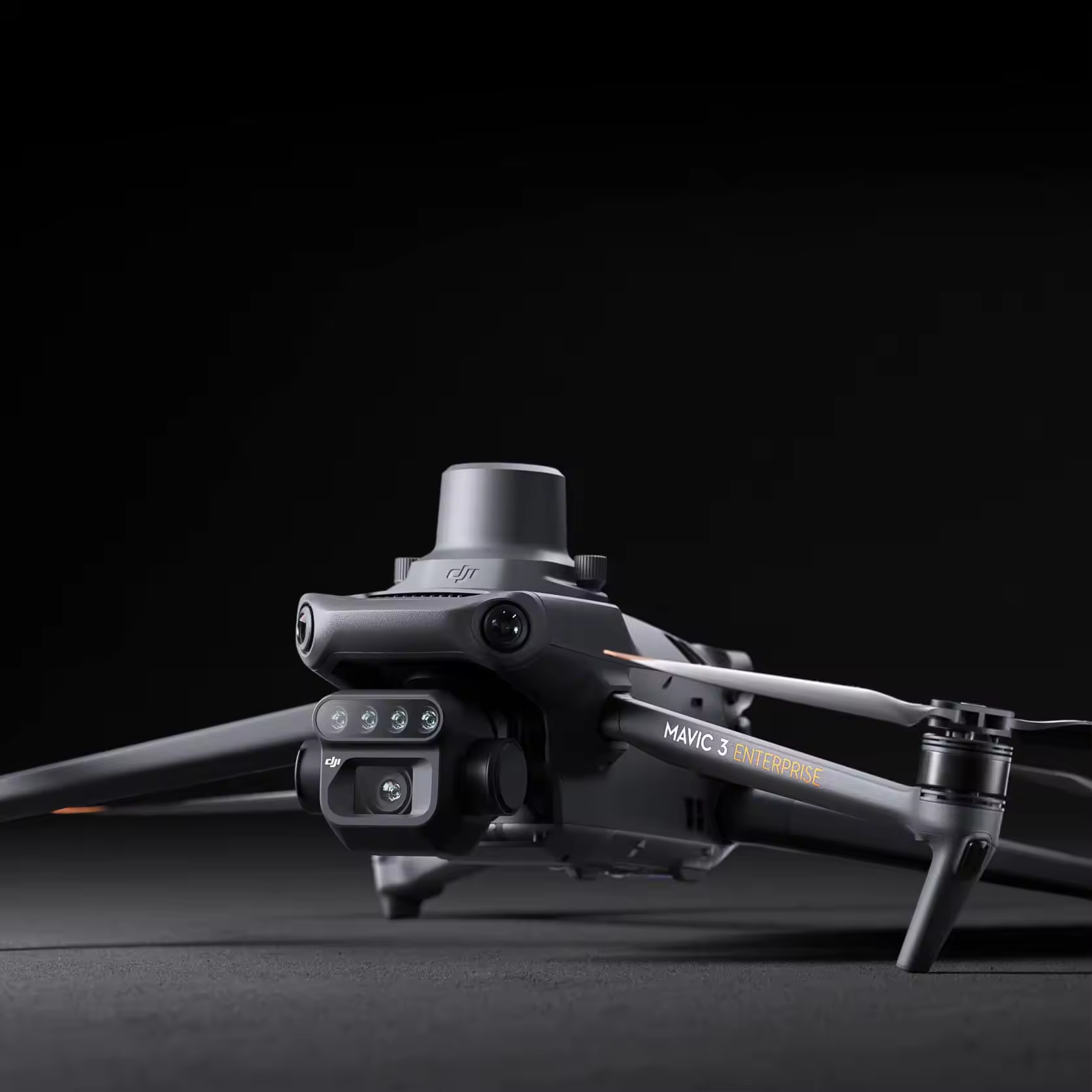
For big acreages, or if you want to offer scouting as a service, our enterprise survey drone flies longer and carries a more advanced camera set, including heat (thermal) imaging that highlights irrigation and stress hot-spots on top of the standard crop-health picture. It’s built for repeatable, large-area surveying, day in, day out.
What it adds
Every flight becomes clear reports, plant counts and establishment, strong/weak zones, weed maps, water logging, plant health and yield potential, each with a ready-to-load treatment map.
Aerial Surveying
Â
The Scouting Drone is a lightweight survey drone engineered specifically for precision agriculture, crop analysis, and environmental monitoring. Combining RGB and multispectral imaging systems within a highly portable platform, it enables rapid collection of detailed aerial data for field scouting, crop health assessment, and precision application planning.
Designed for ease of operation and efficient field coverage, the platform allows operators to capture high-accuracy agricultural data with minimal setup time while benefiting from its advanced flight automation, terrain following, and RTK-enabled positioning systems.
The scouting drone  helps improve input targeting, reduce waste, enhance crop monitoring, and support more sustainable farm management practices.
Â
Multispectral Aerial Surveying
The Industrial Scouting Drone  is equipped with the multispectral camera representing a highly advanced aerial intelligence platform engineered for precision agriculture, environmental analysis, and large-scale geospatial data acquisition. Rather than functioning as a conventional drone system, this combination delivers a powerful modular ecosystem capable of capturing synchronised high resolution RGB, thermal, and multispectral data within a single integrated workflow. Combining long-endurance flight capability with integrated RGB, thermal, and multispectral imaging, the system enables the rapid capture of highly accurate environmental and agronomic data. Engineered for demanding operational environments, the platform supports automated flight missions, centimetre-level positioning, and scalable enterprise workflows, making it ideal for large area surveying and repeatable data collection tasks.