


Improving crop uniformity through targeted interventions
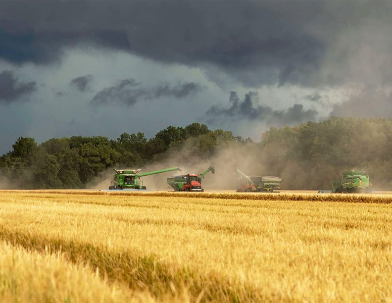
Crop uniformity plays a critical role in achieving consistent yield, efficient harvesting, and predictable crop performance. Targeted interventions use aerial data to identify variability within fields and apply corrective action only where required, helping to bring weaker areas closer in line with stronger zones.
This project demonstrates how multispectral surveys and precision drone operations can be combined to improve crop uniformity over the course of a season. The focus is on addressing variability early and accurately, rather than increasing inputs across the entire field.
The Situation
Many fields exhibit uneven crop development caused by underlying variability in soil type, drainage, compaction, nutrient availability, and historic management. These differences often result in patches of weaker growth alongside areas that perform well, creating challenges for crop management and yield optimisation.
Traditional approaches typically apply the same inputs uniformly across the field. While this may maintain performance in strong zones, it often fails to correct issues in weaker areas and can lead to overspending where crops are already performing well. As a result, variability persists and crop uniformity remains poor.
Uneven crops can complicate spraying, fertiliser timing, and harvest operations. Variability in canopy development can affect application efficacy, increase lodging risk in stronger areas, and reduce overall yield stability. Without clear spatial insight, it is difficult to prioritise interventions that genuinely improve uniformity.
Objectives of the Project
- To identify areas of variability using multispectral aerial data
- To understand the underlying causes of uneven crop performance
- To apply targeted interventions only where required
- To improve crop uniformity and yield stability
- To optimise input use without increasing overall spend


